I put a tubeless 23 on the rear of the official tarck track bike. Other than being such a narrow tire it’s hard to seat, it works fine.
1 Like
No idea I just liked the image
1 Like
Uhhhh, real talk how much of a worry is this? Where exactly does the break occur?
/Owner of OG silver alloy 10s Rival levers, and also a set of 10s carbon Rival levers.
i can’t believe these haven’t broken yet. back in like 2010 the right shifter lever would snap off if you sneezed on it
2 Likes
Following. Yes I have two sets of red 10 speed that have only ever done allroad duties with me, and road with their previous owners, and no probs so far.
my red 10 (revised shape) shift lever finally broke off this past year, paid NIB NOS prices for a replacement ![]()
I think 75% of the ones I saw snap were Rival (black) and the rest were Apex.
2 Likes
Mine was rival black from 2010ish
They had carbon lever blades if that means anything?
Yep. Those were the ones that a pretty sizable bad batch. They did correct it any minted in the last 5+ years are immune.
There was some funny business with the metal hinge the lever was connected to and they all failed the exact same way. Sram basically ended up warranting all of them.
I don’t recall ever seeing a 10s Red or Force or any 11s fail the same way.
Come to think of it, I don’t think I’ve ever had to process a warranty claim on an 11s cable brake Sram lever.
1 Like
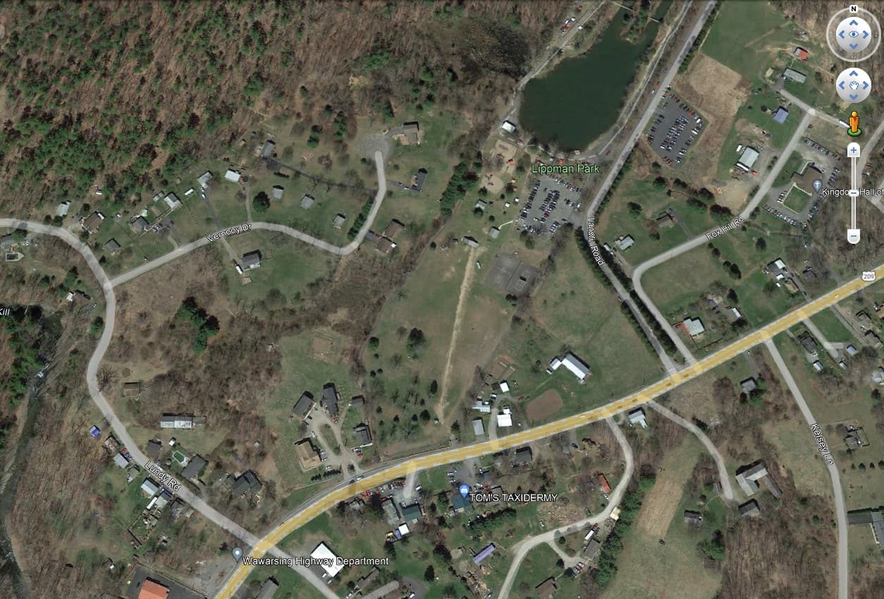
Is there a good place to get leaves-off satellite images. It’s so frustrating to try to plan rides on back roads when you can’t even see if there is an actual road there
1 Like
For your specific location, check out the Ulster County Parcel Viewer. The site gives you a nice variety of basemaps, including infrared.

It also lets you see who owns any piece of property in Ulster County, as well as when it was purchased and for how much. I recently found out that Rhett Miller from the Old 97’s lives in Gardiner and the parcel viewer let me know his address and exactly how much he paid for his house!
7 Likes
i.e. you can search a person’s name and come up with that info? that seems like a bad idea
1 Like
That’s not leaves off though so I am not sure if that is going to be more helpful
Short answer: no.
Long answer: if you can find aerials taken during leaves off season you are in luck. Otherwise, use lidar if available.
You would think. I’m surprised how many people around here don’t know the site exists. I’m assuming the idea is that it’s all public information anyway.
For a given road, you can click through the different years of imagery to see if the road is visible. Looking at a local dirt road, it’s very visible in some of the aerial photos, not so visible in others.
Hold on, there’s a way to do it in Google Earth apparently
Fuck just on Google Earth pro, that sucks
philly has/had this but they took away the search by name part
You can try this, altho it’s probably not high res enough. You can select any date to view that day’s images (they have updates every 3 days or something like that).