Your routing alogrithm sucks - it costs money, sucks data and battery or slurps your personal spatial info.
BRouter is free, open-source and better than whatever you’re using to navigate.
Want to spend endless hours at your desk job planning out your next poop-barning foray? Use the desktop version with multiple imagery, terrain, and OpenStreetMap overlays to find the best roads.
Want to have lightweight offline mapsets and offline re-routing for use on rides? Grab a cheap old android on craigslist, install the brouter app and buy OSMand+. Now you have 50+ hours of offline routing anywhere in the world.
Want to navigate the beige uburban hell-scape and not get ground to a paste by some cager when running cross-town errands? Brouter’s safety mode will figure out how to route you through parking lots, social trails and neighborhoods to keep you off of the eight lane highway that Google Maps thinks you should totally make a left hand turn across at rush hour.
Fully configurable routing profiles allow you to prioritize climbing for your quick training ride or prioritize grav-grav for your weekend picnic.
Feel free to share routing profiles here, I’ll set up a GitHub for them at some point.
Been playing around with the online version. So far so good. There are a few trails that show up on Google maps that most apps won’t let me navigate through but bRouter is letting me build a route on the trails no problem.
Downloaded OSMand+. Never paid dor an app before…hope it’s good.
so what is the workflow here?
im still downloading maps but it looks like i can route on both
would the recommendation be creating routes in brouter, exporting, and importing into osmand?
any known ways to work this into using ridewithgps, i like to steal other folks maps on ridewithgps
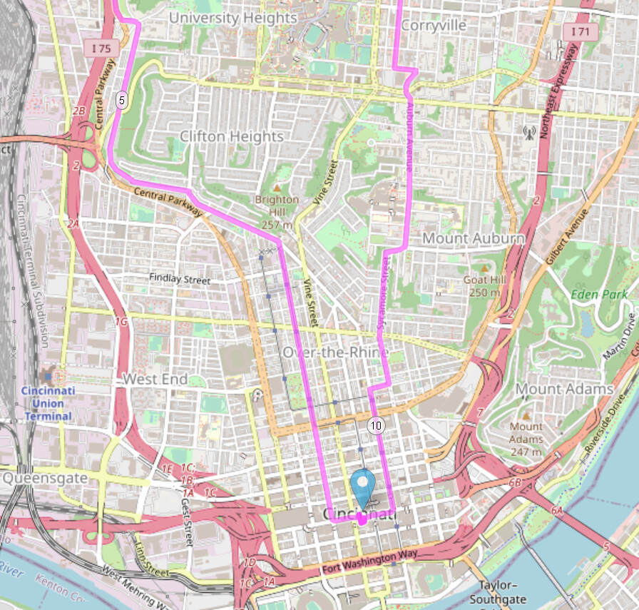
So here it is telling me to get off of central where it has a protected bike lane to go down a street where you would buy drugs. Why would it be doing that?
I don’t think safety mode factors in where people have been shot, or anything about neighborhoods unless someone on OSM is putting that data in somehow. Could those streets be more busy?
That said, if you want to avoid certain areas, the web version allows you to set “no go zones” that you won’t be routed through. This is nice for planning tours to avoid city centers and such.
At home workflow: Brouter desktop, make a route, export as kml, load into OSMand+ by moving file onto phone. Download maps for OSMand+ for offline
On the go routing: download brouter app, launch a routing profile, open OSMand+ with downloaded mapsets, route to where you wanna go
OSMand+ will take lots of different point/shapefiles. If you can export from rwgps, you can import that route into OSMand+. That’s what I do for poopbarning.com articles
This is essentially the same workflow, just with the added step of dragging a file to your phone instead of clicking a button.Your garmin doesn’t do good offline routing or provide as nice of an interface to browse mapsets on the road. The offline features aren’t for everyone, but I really like them when I’m in the backcountry and find that such and such bridge is gone and have to reroute
Statistically speaking, more people get shot on busier streets. I was making an attempt at being pithy. Though it’s true that I typically want to avoid those busier streets where people frequently get shot or cyclists get run over for fun.
Stumbled upon this phone because of work stuff. It’s cheap enough that it might be worth looking at for mapping experiments. Big battery and 6.2" screen. On sale for $120 unlocked. No personal experience with it.
This was very handy when we were deep in the Japanese forest with no phone signal and trying to map an alternate route. Even just OSMAnd on my phone with downloaded maps was able to give me a route, show elevation profiles etc.